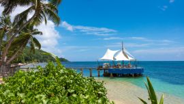
Hiking on La Digue
From Grand Anse to Petit Anse & Anse Cocos to Anse Caiman
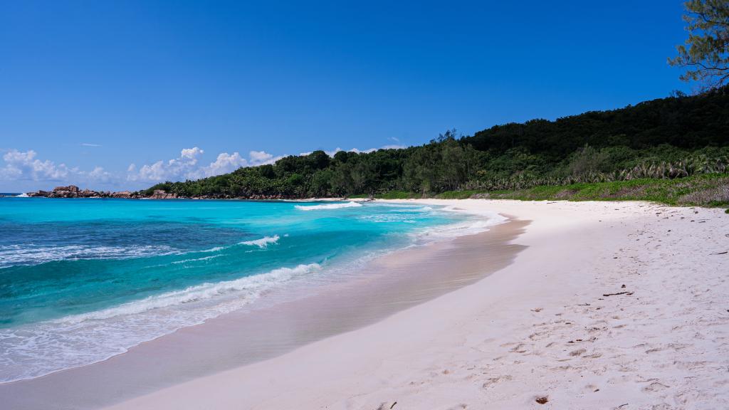
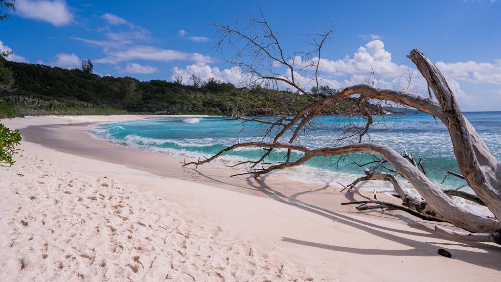
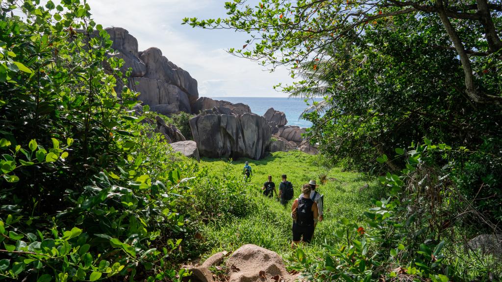
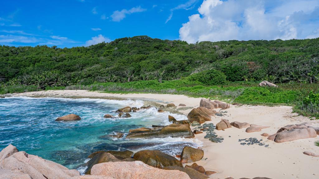
On this hike you will discover four of the beautiful beaches of La Digue! You won’t be able to stop marvelling as you walk from bay to bay over sandy and sometimes rocky paths. When you arrive at the last beach, Anse Caiman, you can even treat yourself to a fresh coconut at the beach bar! .
| At a glance | |
|---|---|
| Starting Point and Arriva | Ride your bike to La Digue’s Grand Anse. Park up and walk a little to find a map displaying the route to Anse Caiman. |
| Start Time | For this hike we recommend you start in the morning, preferably before 9am. Approximately half of the route is without shade. |
| Hike Length | 2.25 km |
| Hike Duration | Round trip total approx. 2 hours with photo stops |
| Difficulty (Easy, Medium, Hard) | easy |
| Difference in Elevation | 60 metres up- and downhill |
| What to bring with you? | Hiking shoes or other sturdy shoes (no flip flops or sandals), at least 2 litres of water per person, insect repellent, snacks, camera, sun cream, hat/cap, mobile phone with internet, swimwear, towel |
| Ideal for | Adults and children from 6 years old. |
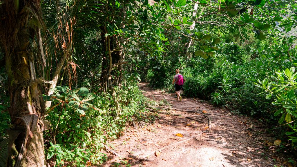
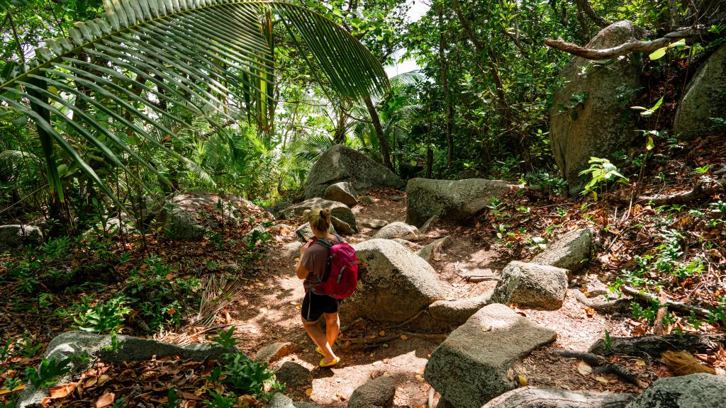
| Hike surface | Palm tree forest paths, sandy paths, partly with tree roots, partly with loose stones |
| Cost | free of charge |
The Hike in Detail
Are you ready to explore four absolute dream beaches? Then this hike is perfect for you. The tour starts at Grand Anse on La Digue, which is best reached by bike. Your hike starts on a small path that runs just behind the beach. On the map for the ‘Anse Caiman’ hike, you can get an overview of the route and the ins and outs before you start your tour.
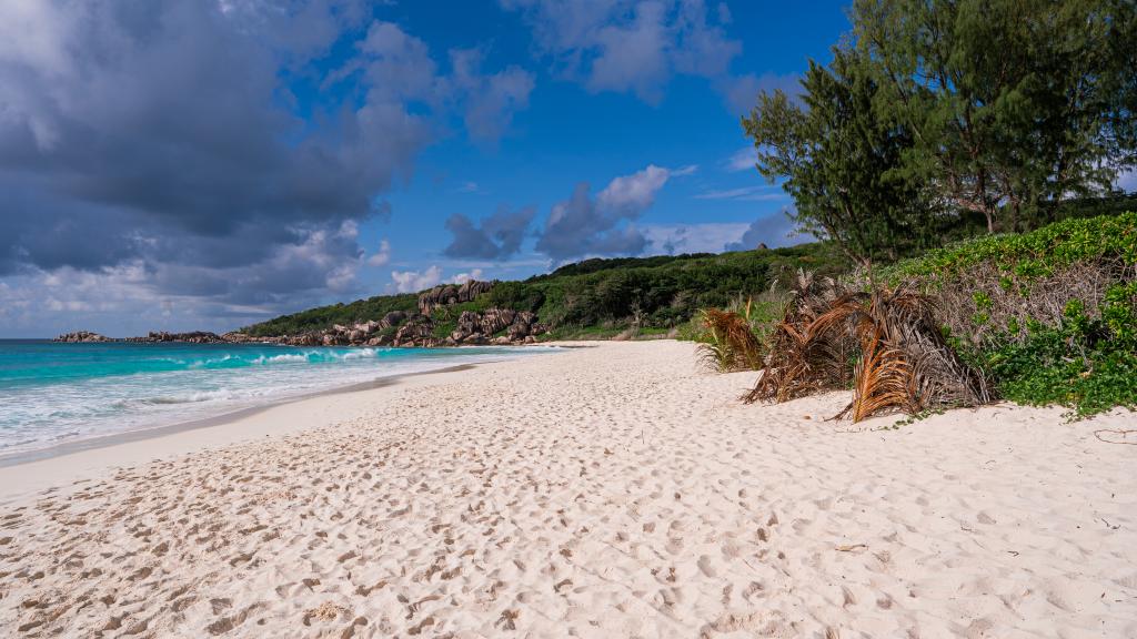
After following the sandy path for a while, you will reach the first incline that will take you to Petite Anse. You’ll then hike uphill along a stoney path until you catch a first glimpse of the second dream-like beach, Petite Anse! Enjoy the spectacular view of the white sand, the turquoise sea and the green nature! Top tip: Photos from above are particularly beautiful and this is the perfect spot for one!
Then follow the path downhill and you will arrive at the ‘little bay’ (Petite Anse). Follow the path behind the beach and you will soon come to the next slope, which will take you to Anse Cocos.
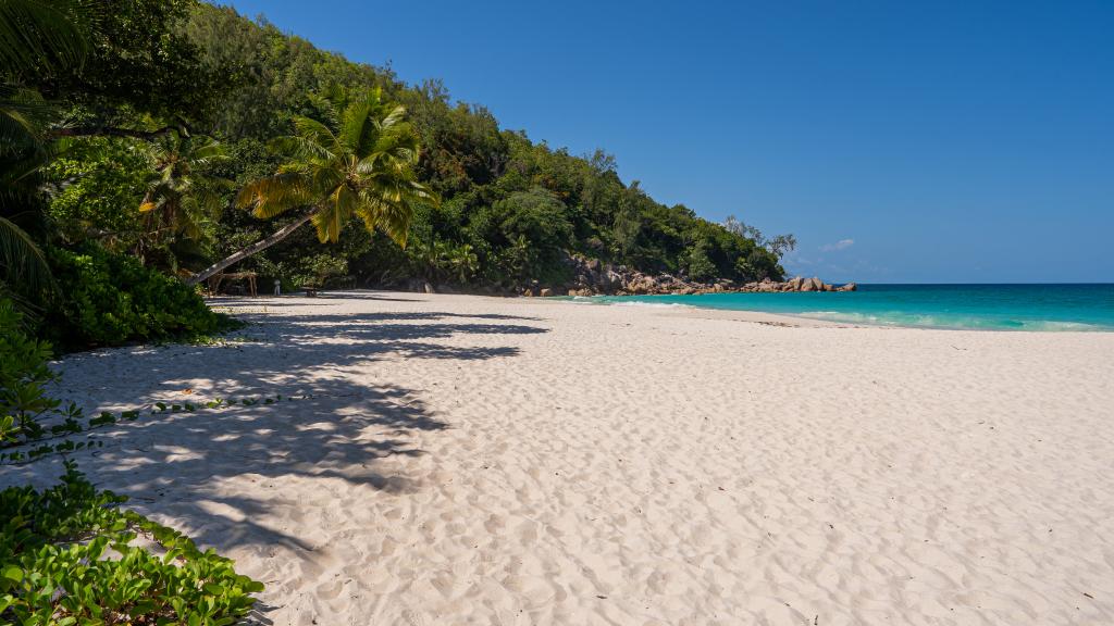
Anse Cocos is the third spectacular beach of the walk. It is particularly long and deserted with a sheltered area surrounded by rocks towards the back of the beach - ideal for swimming! Take a break here and enjoy the beautiful view!
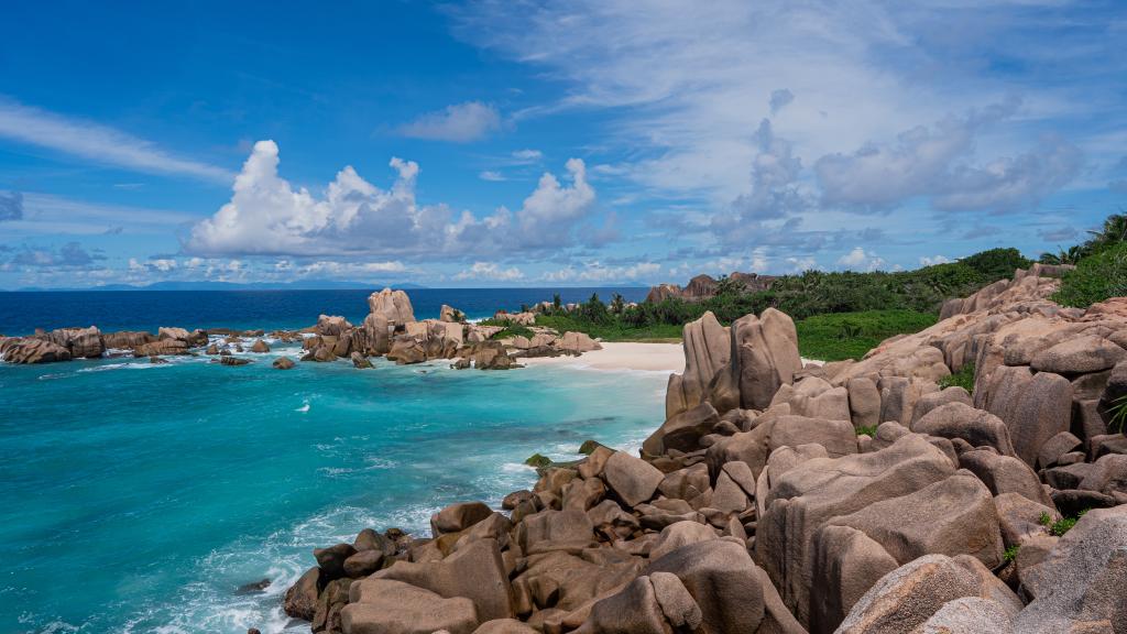
Then continue up the mountain to the last beach of the tour, Anse Caiman. The path is easily recognisable and the next beach is not too far. Once you arrive at Anse Caiman, a small bay and a nice bar await you, where you can treat yourself to a fresh coconut!
Now either relax here or go back to the sheltered area of Anse Cocos and refresh yourself in the pleasant water! It’s now time to reflect on the highlights of your hike and relax on one of the wonderful beaches!
Please note: Grand Anse and Petit Anse are not suitable for swimming as there are seasonal currents. We recommend the sheltered area of Anse Cocos or Anse Caiman for swimming!
Anse Marron
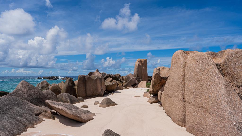
The hike to Anse Marron is something that finds itself on the bucket list of many a Seychelles holidaymaker. The trail leads over and under huge boulders to the stunning beach of Anse Marron, and further to Anse Source d’Argent. On the trail, you’ll explore the south of La Digue on foot and enjoy breathtaking scenery. Please note: this hike is only possible with a guide.
| At a glance | |
|---|---|
| Starting Point and Arriva | The tour starts at Anse Source d’Argent or Grand Anse on La Digue, depending on the tides. |
| Start Time | The majority of the hike is in the direct sunshine. Therefore, most tourists start the hike between 7 and 9 am. |
| Hike Length | 3 km in total |
| Hike Duration | 6 hours with lots of breaks |
| Difficulty (Easy, Medium, Hard) | Hard (only possible with a guide). |
| Difference in Elevation | Small differences in elevation, the majority of the trail is over boulders. |
| What to bring with you? | Hiking shoes or other sturdy shoes (no flip flops or sandals), at least 2 litres of water per person, insect repellent, snacks, phone, camera, sunscreen, hat, bathing suit, towel. |
| Ideal for | Adults and children from 10 years old. |
| Hike surface | Forest path, large boulders, flat granite plateau, beach. |
| Cost | € 50 (+ SCR 150 for entry to the L’Union Estate park) |
The Hike in Detail
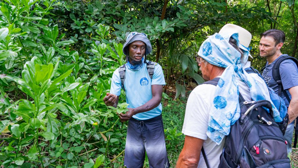
The hike to Anse Marron is one of the most beautiful and most difficult hiking tours in the Seychelles! Therefore, you won’t find a GPS map of the trail here as with our other hiking trails. We strongly recommend only taking on this hike with the help of a local guide. We did the tour with Robert from Sunny Trail Guide, and we can recommend him wholeheartedly.
The tour starts early, between 7 and 9 in the morning at the entrance to L’Union Estate Park. Here, you’ll meet your guide as well as the other participants of the hike, before it’s time to set off on an adventure! The tour will either start at Anse Source d’Argent or on the other side of the island at Grand Anse, depending on the tide.
Once you arrive at Grande Anse, it’s time to put plenty of sunscreen and insect repellent on before you head off. The start of the trail leads through a palm forest until you reach the ocean. Along the way, you’ll see a huge Baobab tree, of which there are just a few in the Seychelles. After some time, you’ll reach a clearing and will be able to see the blue ocean. Welcome to Anse Songe! From here, the most beautiful part of the hike begins. Enjoy the view of the ocean and the coast and take a look back behind you at Grand Anse. The path itself continues along the coast to the next beach, Grand l’Anse.
Grand l’Anse is a spectacular bay containing a sandy beach and the ocean, as well as large boulders and the remains of a coral reef, showing that historically, the sea was around 8 metres higher at this point on the island, approximately 130,000 years ago. The remains are clearly visible and well worth a look!
This beach is also home to the Morning Glory plants. These plants can be found on numerous tropical beaches and lie between the beach and the rest of the vegetation. Their pink and purple flowers are really attractive and excellent for photos. The individual plants can grow to up to 20 metres in length!
Now comes the hardest part of the tour. Across boulders, under boulders, and between large rocks - Robert will show you the way and help you to find your path across this rocky path. He knows the way like no-one else, having taken numerous tourists across it over the years. The path from here is impossible to do without a guide. Sometimes you will need to take your shoes off and carry your rucksacks too to cross the boulders and reach Anse Marron at the end. After some climbing up and down, you’ll reach a wonderful viewing point, from which you can already see Anse Marron. After you’ve taken a few photos, it’s time to head to the beach itself. Anse Marron is divided into two halves, the second of which is ideal for swimming. Robert will show you the best place to take photos of the beach, before you take a well-deserved cooling break in the water itself.
Time to dive in! After a long and difficult hike such as this, you surely deserve a refreshing dip, surrounded by paradise-like scenery. The swimming spot is a large granite pool where you can swim entirely protected from the open ocean.
Meanwhile, Robert will prepare a lunchtime snack, consisting of a fresh fruit platter with tropical fruits, and delicious samosas and other smaller snacks. Relax in one of the few shaded places on the beach and work up some energy for the rest of the hike that is still to come.
After around an hour, you’ll set off again, headed for Anse Source d’Argent. The trail leads through some more palm forest, along Anse Bonet Carree, Anse aux Cedres, and up to Anse Pierrot. Along the way, you’ll discover plenty of local plant life, including cinnamon trees.
Behind Anse Pierrot, you’ll find the last part of this hiking trail - this part is somewhat “wild”, as it leads through the water! You’ll be waist-deep in the water here, so look out for where you’re stepping. There are lots of sharp stones under the water, so you should definitely wear trainers or other sturdy shoes for this part of the hike. Once you’ve slowly worked your way through the water, you’ll be close to Anse Source d’Argent, a true dream come true for anyone who loves beaches. Finally, you’ve finished the trail and can enjoy some relaxation!
Robert will say goodbye and you can decide whether to remain on the beach and relax a bit more or whether to head back to your accommodation.
Book the tour to Anse Marron with us: Anse Marron hiking tour
Nid d’Aigle Trail
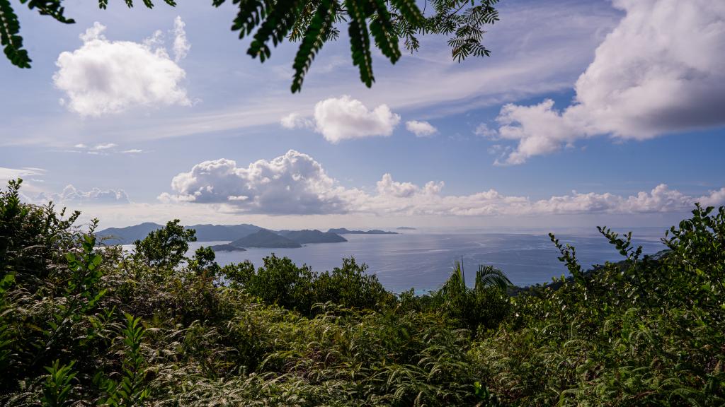
This relatively short but steep hike leads up the highest point on La Digue, the peak of the Nid d’Aigle. This 333 metre high viewing point offers spectacular views of the surrounding islands as well as of the green nature of La Digue.
| At a glance | |
|---|---|
| Starting Point and Arriva | Go by taxi to Belle Vue restaurant. Here, you’ll find the start of the hike. Alternatively, you can walk from your accommodation to the restaurant. |
| Start Time | We recommend starting the hike either in the morning or the afternoon. Around half of the hike is in the shade. |
| Hike Length | Around 1.3 kilometres each way |
| Hike Duration | 45 minutes up including time for photos, around 30 minutes back |
| Difficulty (Easy, Medium, Hard) | medium |
| Difference in Elevation | 110 metres up and down |
| What to bring with you? | Hiking shoes or other sturdy shoes (no flip flops or sandals), at least 2 litres of water per person, insect repellent, snacks, phone, camera, sunscreen, hat |
| Ideal for | Adults and children from 8 years old. |
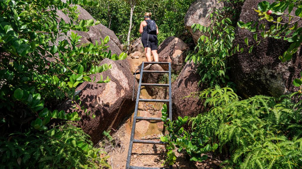
| Hike surface | Palm forest paths, lots of roots, lots of natural steps, flat granite plateau, ladder |
| Cost | free of charge |
The Hike in Detail
For those who’ve always wanted to hike up to the top of La Digue, this may be the hike for you. Climbing up to the Nid d’Aigle, a 333-metre high peak, allows you to look out over the nature of La Digue, as well as the neighbouring islands of Praslin, Felicite, Grand and Petite Soeur, and Marianne. The hike starts below the Belle Vue restaurant. You can either take a taxi here or walk on foot. The way up to the restaurant is relatively steep, but if you’re an active person then you won’t have any problems!
Once you reach the starting point, you’ll find a board with information about the tour, the way and some other highlights. Behind that, between the board and Belle Vue Restaurant, it’s time to head up the mountain. You’ll snake through natural steps up the mountain and probably notice already that it’s getting a little sweaty. Thankfully, there is a viewing point not far along where you can enjoy the first break of the hike.
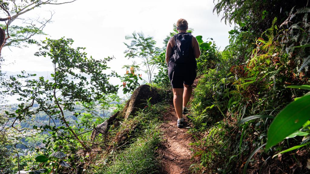
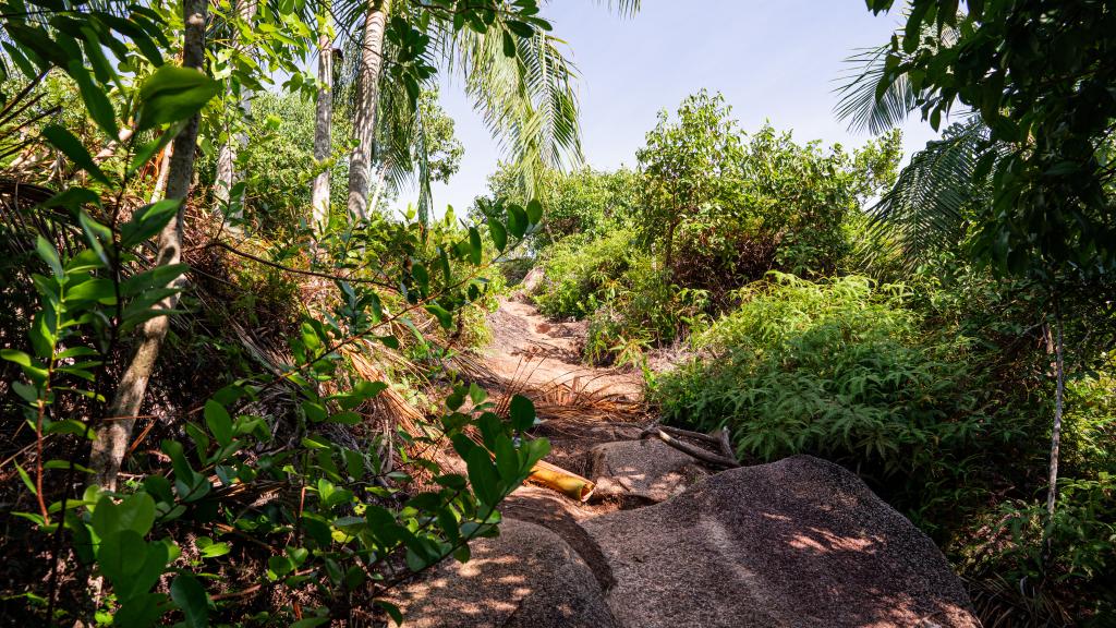
Next, head through the palm forest, over small boulders, to the peak. You’ll probably see the endemic palm tree species “Palmiste” along the way, which can grow to up to 40 metres in size!
After 45 minutes you’ll reach the top, the highest point on the island! It’s a great feeling seeing La Digue and its neighbouring islands from above. With a bit of luck, you might even see a Seychelles Swiftlet here, a type of bird that nests in holes. Enjoy a break and take some photos before you head along to the Roche Baie viewing point. The way there is partially covered by red earth, and is easy to find.
At the second viewing point you can enjoy views of the ocean and the surroundings. Follow the path further to some old house ruins. Nature has completely taken over the ruins here, climbing up the walls.
Now it’s time to take the same way back to the peak. Enjoy the view one more time before you start heading back down again. This is almost entirely downhill, so will likely be a lot faster than the climb. Once you’re back at the starting point, you can walk back to your accommodation or call a taxi to take you to your destination.
